

.jfif.700x700_q85_autocrop_replace_alpha-%23FFFFFF.jpg)


#R83
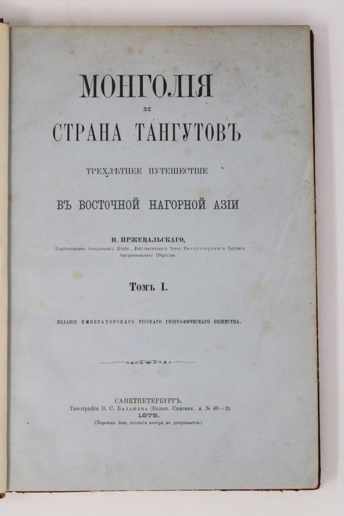
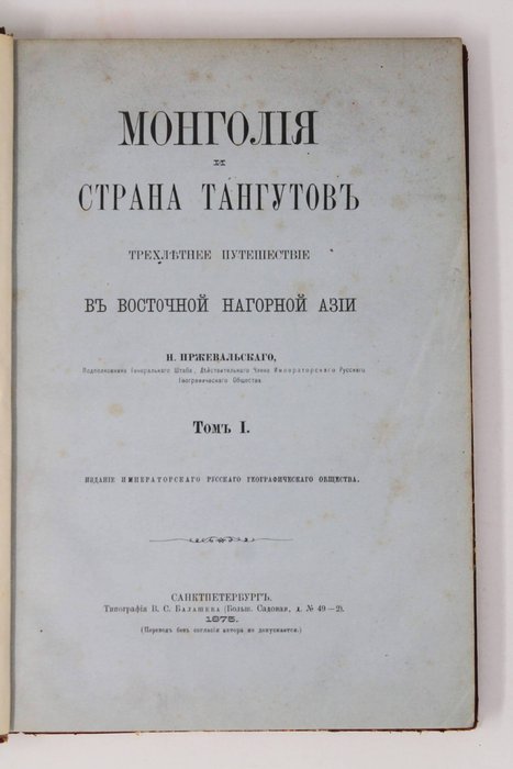
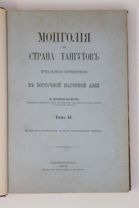
1875
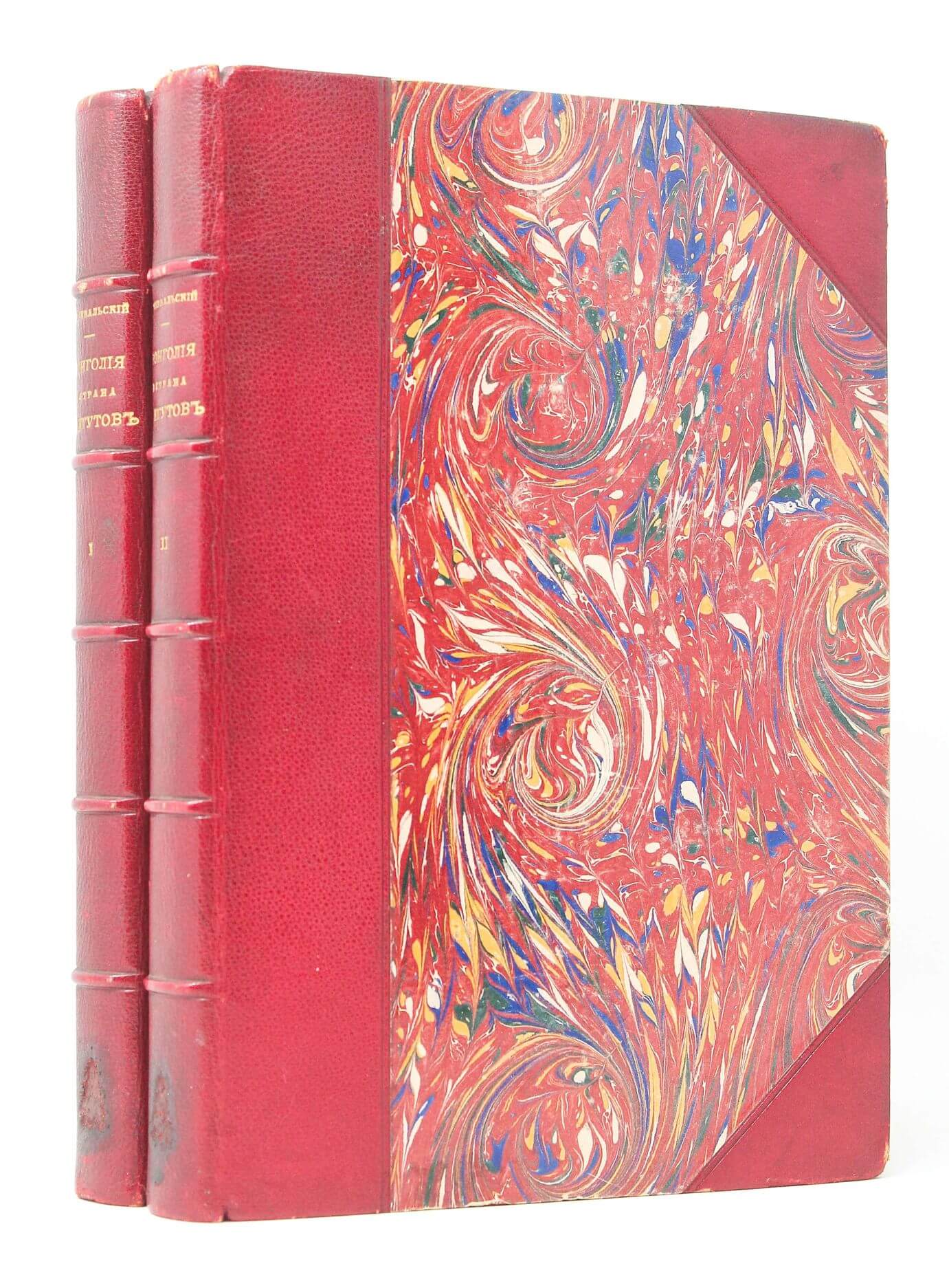
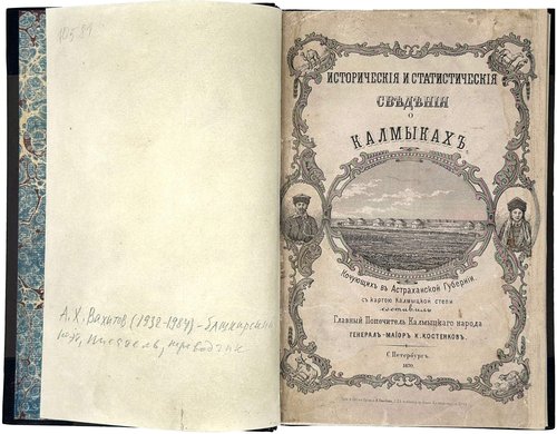
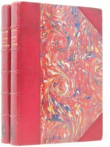
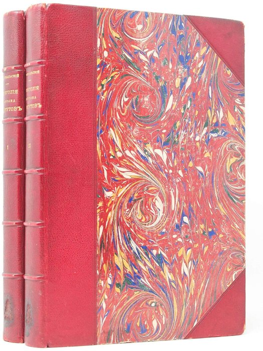
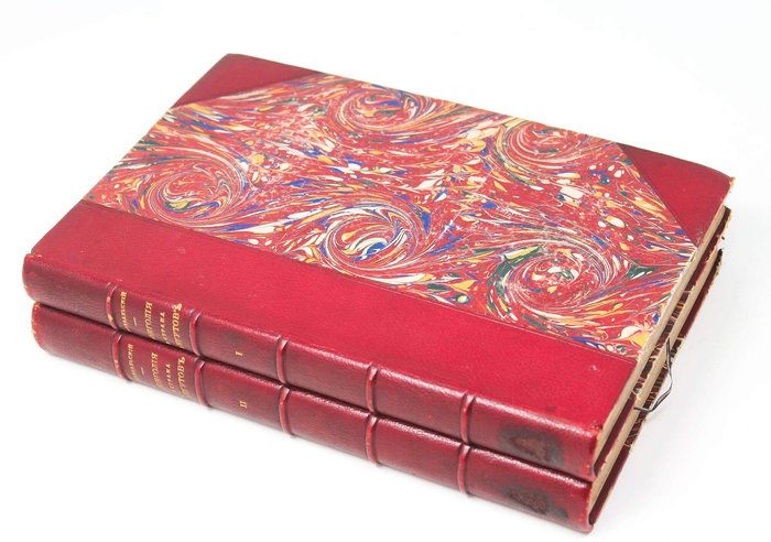
First edition. 2 vols. Quarto (ca. 26 x 18cm). ix, 381, [1 – errata]; [4], 2, 29, [2], iv, 176, 55, 36, 114, iv, ii pp. With 31 chromolithographed plates and two large folding chromolithographed maps at rear. Period Russian maroon half morocco with marbled papered boards; spines with raised bands and gilt-lettered titles; marbled papered endpapers. Both publisher’s wrappers of each volume bound in. Paper labels of the antique bookshop of Vasily Klochkov in the lower corners of each publisher’s wrapper bound at rear. Soviet bookshop’s ink stamp and pencil note on verso of the first free endpaper of vol. 1 (the price for two volumes was 100 rubles).
Monograms roughly removed from bottoms of spines, some very mild foxing in places, maps with minor tears at joints but overall a very good original copy of this rare set.
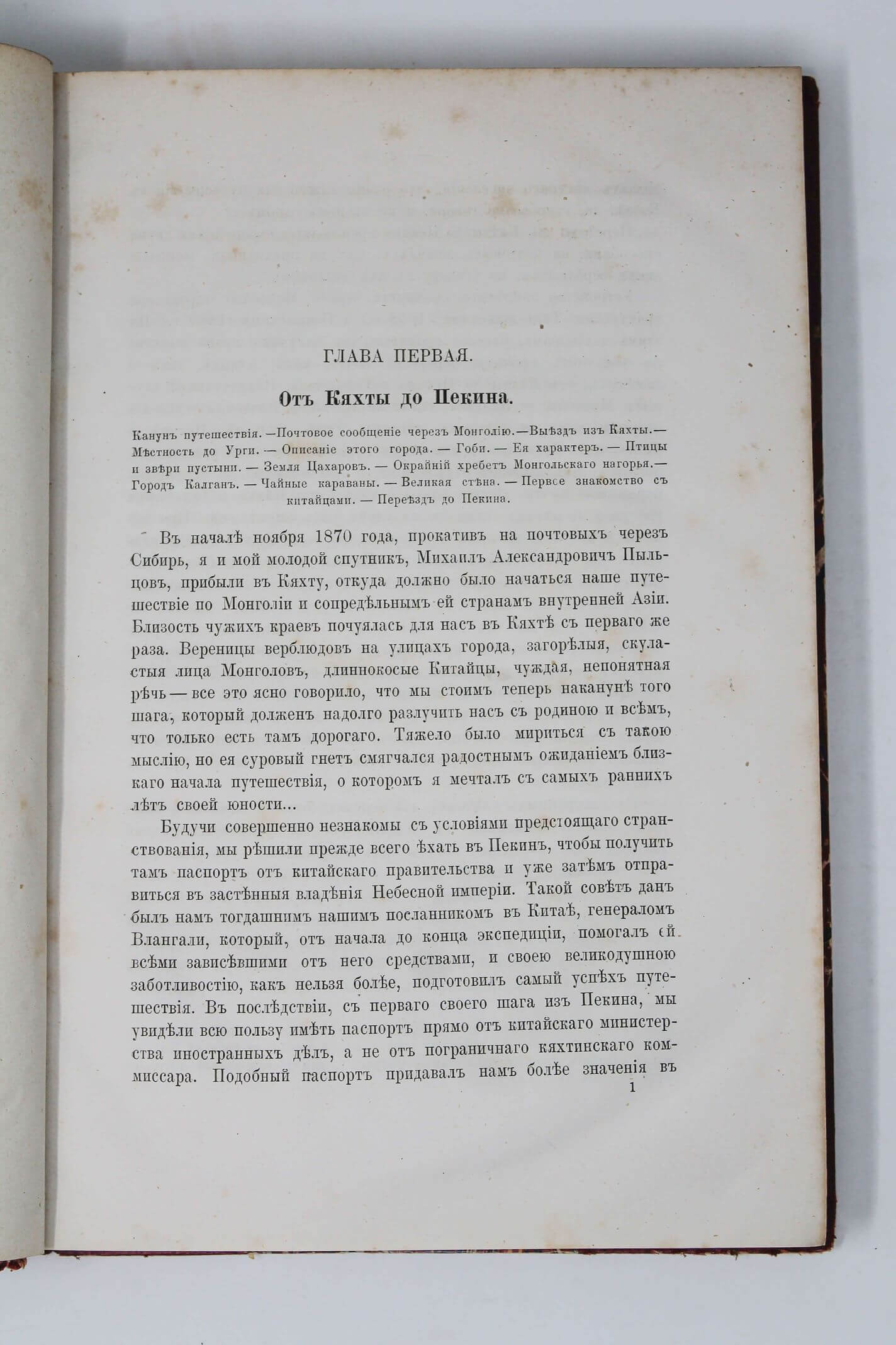
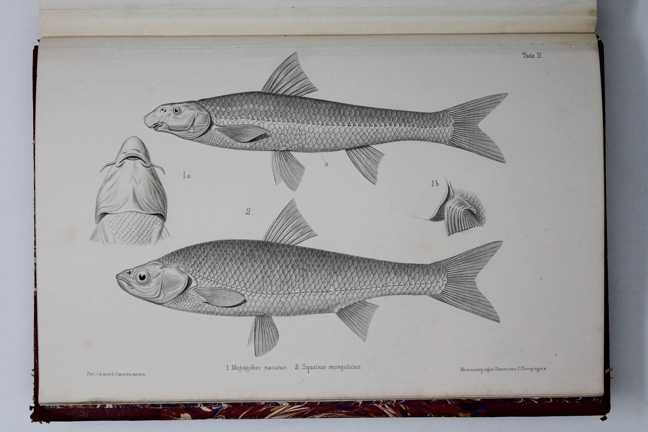
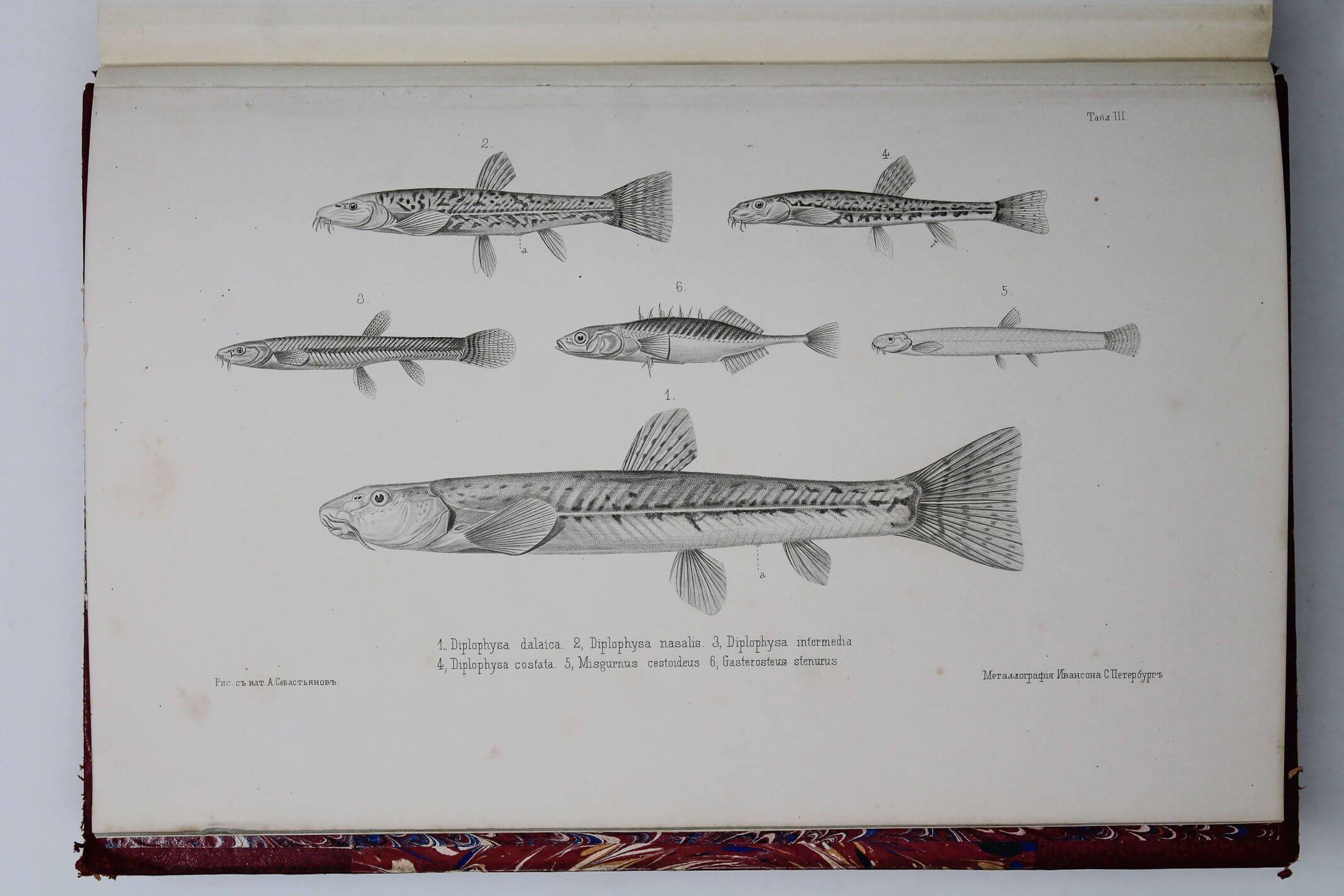
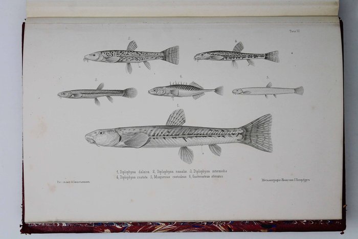
Official account of Przhevalsky’s first travel to Central Asia in 1870-1873, which made him world famous. Accompanied by only three men, he first explored the eastern frontiers of Central Asia, travelling from Kalgan (Zhangjiakou) as far as Duolun and Dalai Nuur Lake. During the next, major part of the travel, he explored the Ordos Plateau formed by the Ordos Loop of the Yellow River, crossed the Alashan section of the Gobi Desert and the Alashan range of the Nan Shan mountains, entering Marco Polo’s little known “country of Tanguts.” There he surveyed and mapped Lake Kokonor (Quinghai), discovered the Quaidam (Tsaidam) Basin west of the lake, and crossing the Burkhan Buddha range of the Kunlun Mountains, traversed the Tibetan plateau, going as far as the upper reaches of the Yangtse River. Due to the lack of resources the party had to turn back being about 850 km from Lhasa; Przhevalsky returned to Urga via the central part of the Gobi Desert which hasn’t been visited by a European before. The expedition altogether went for over 11,800 km, produced first thorough descriptions of the Gobi, Ordos and Alashan Deserts, the Quaidam (Tsaidam) Basin and the Tibetan Plateau, mapped over twenty mountain ranges and seven new lakes; assembled voluminous zoological and botanical collections.
“Expedition of Nikolay Mikhailovich [Przhevalsky], planned by him and executed with glory, is one of the most fruitful geographical enterprises of our time…” (from the speech M. Venyokov at the AGM of Russian Geographical Society, January 1874). “It can be said without exaggeration, that among all Przhevalsky’s works about Central Asia “Mongolia…” takes a special place. It’s the author’s best book…” (Murzayev, E. [Editor’s Preface]/ Przhevalsky. Mongolia i Strana Tangutov… 2nd ed. M., 1946, p. 6).
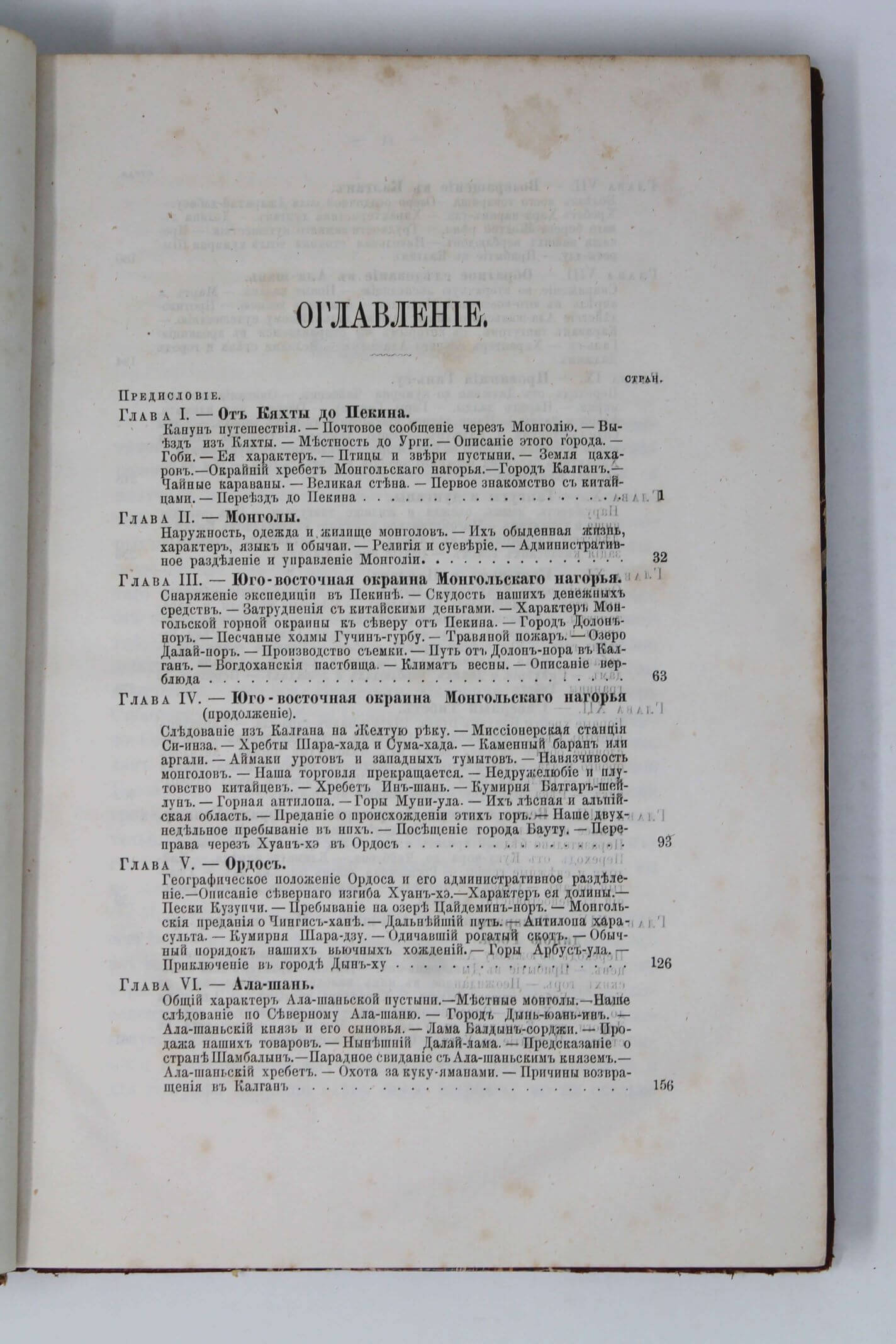
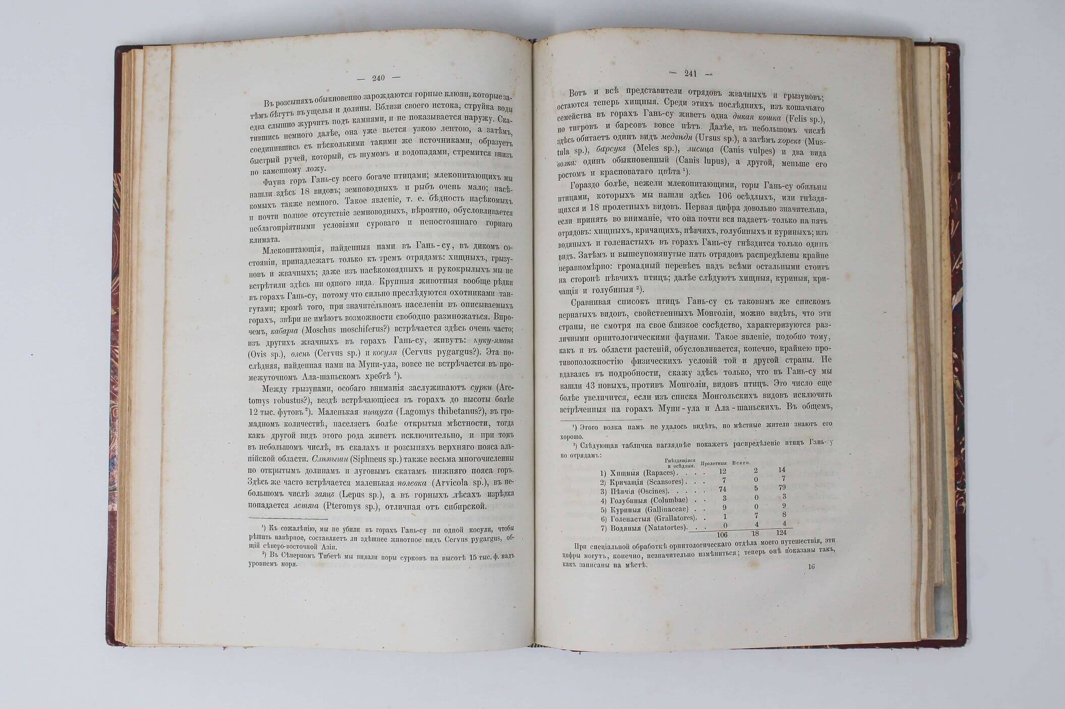
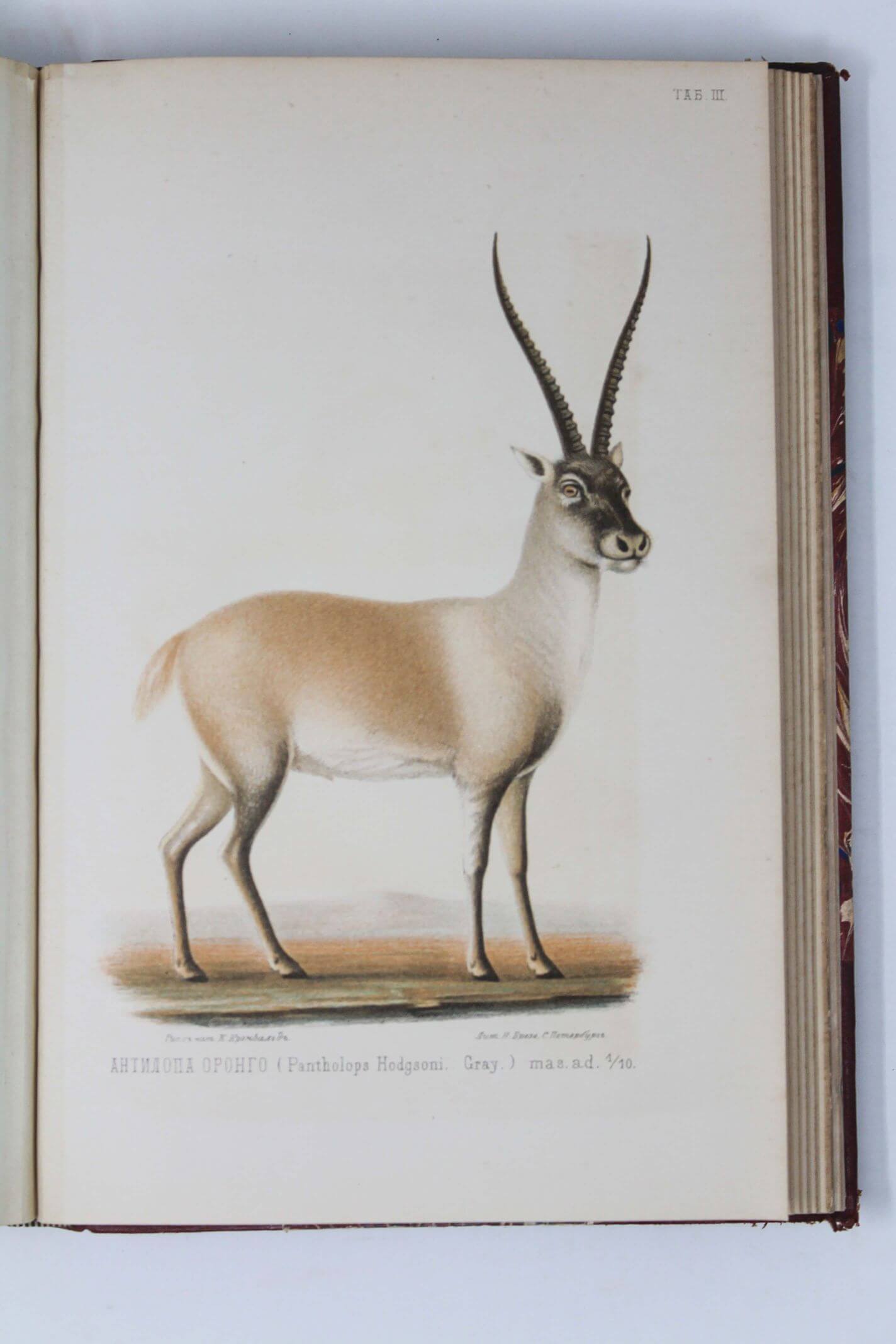
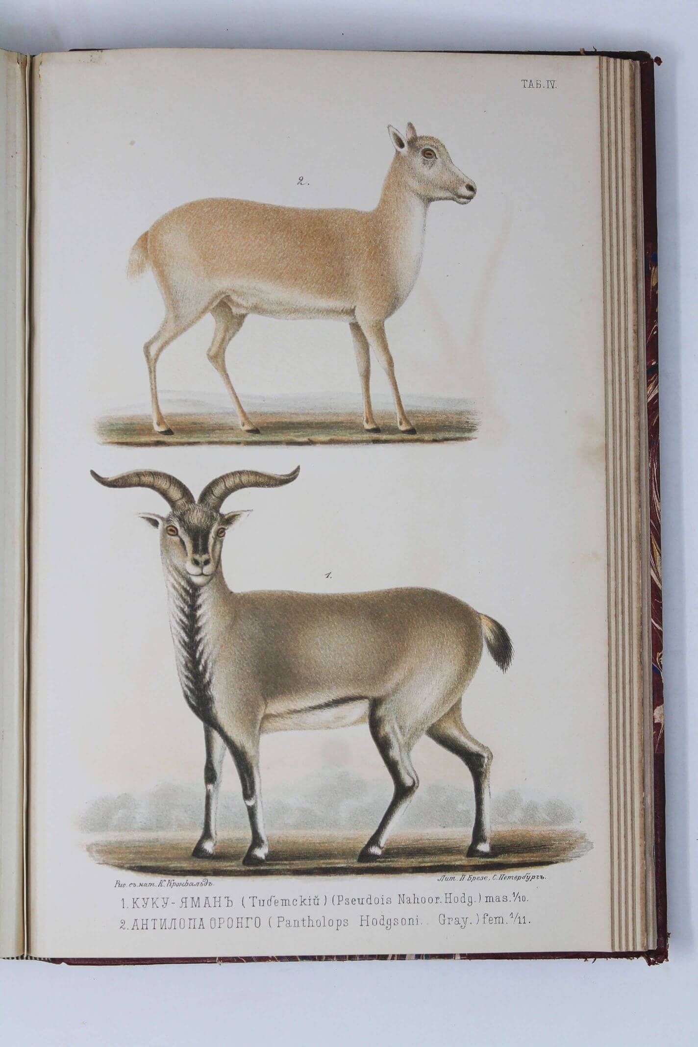
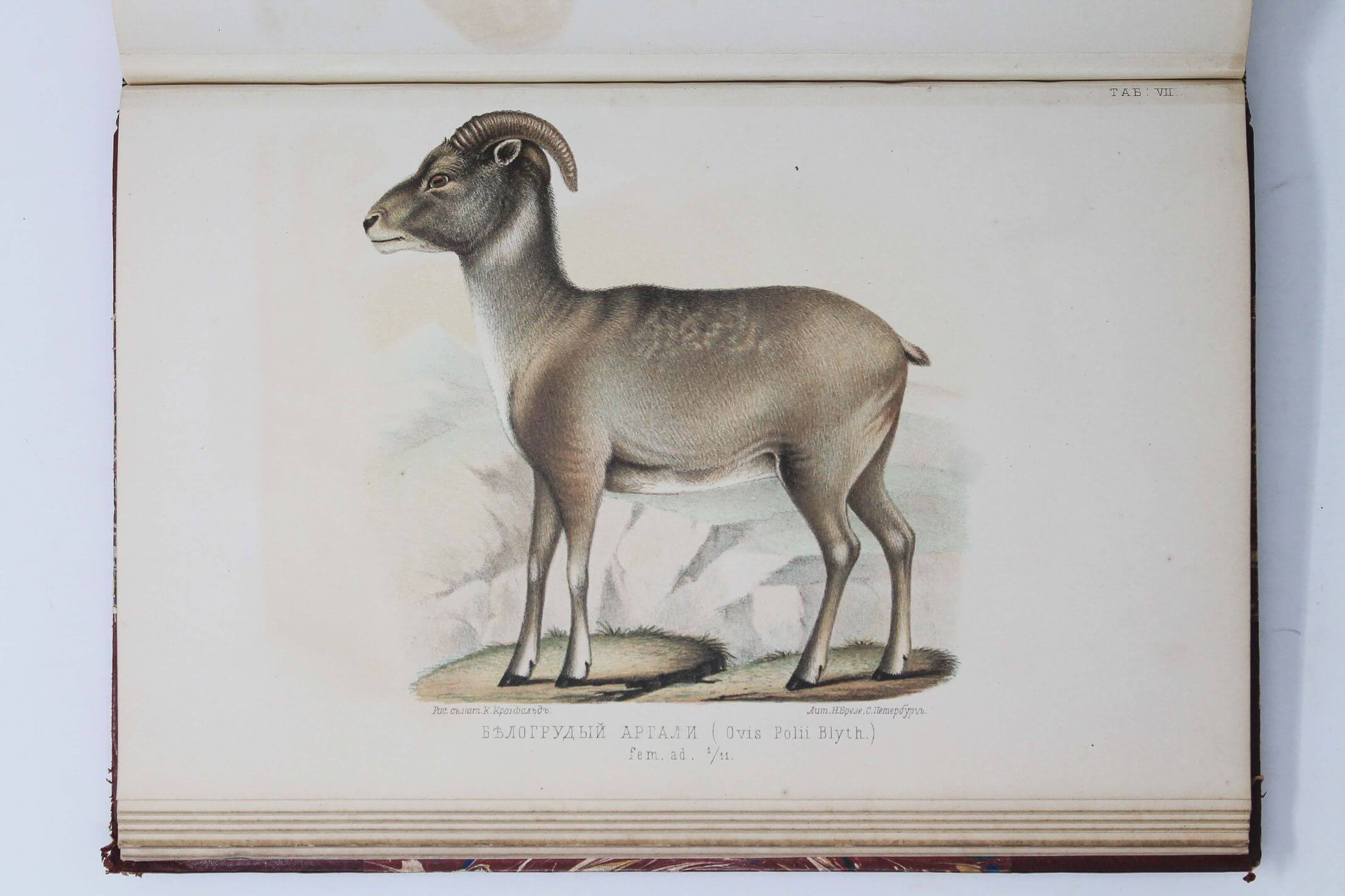
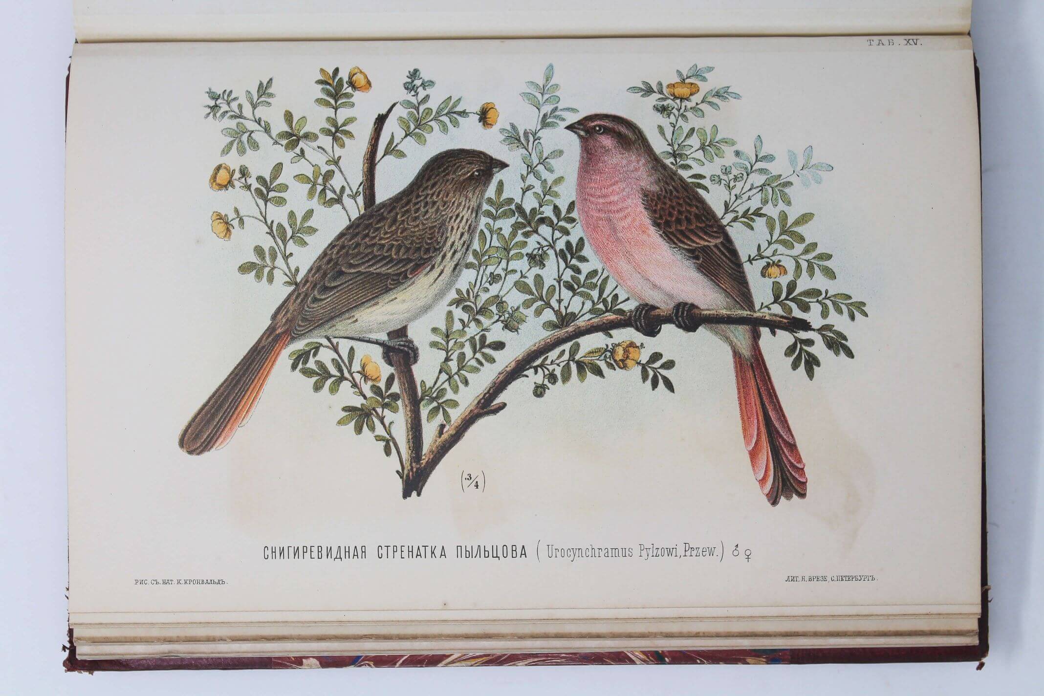
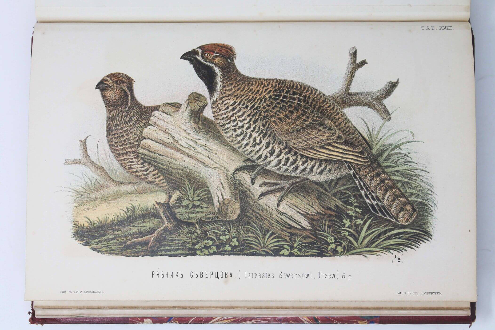
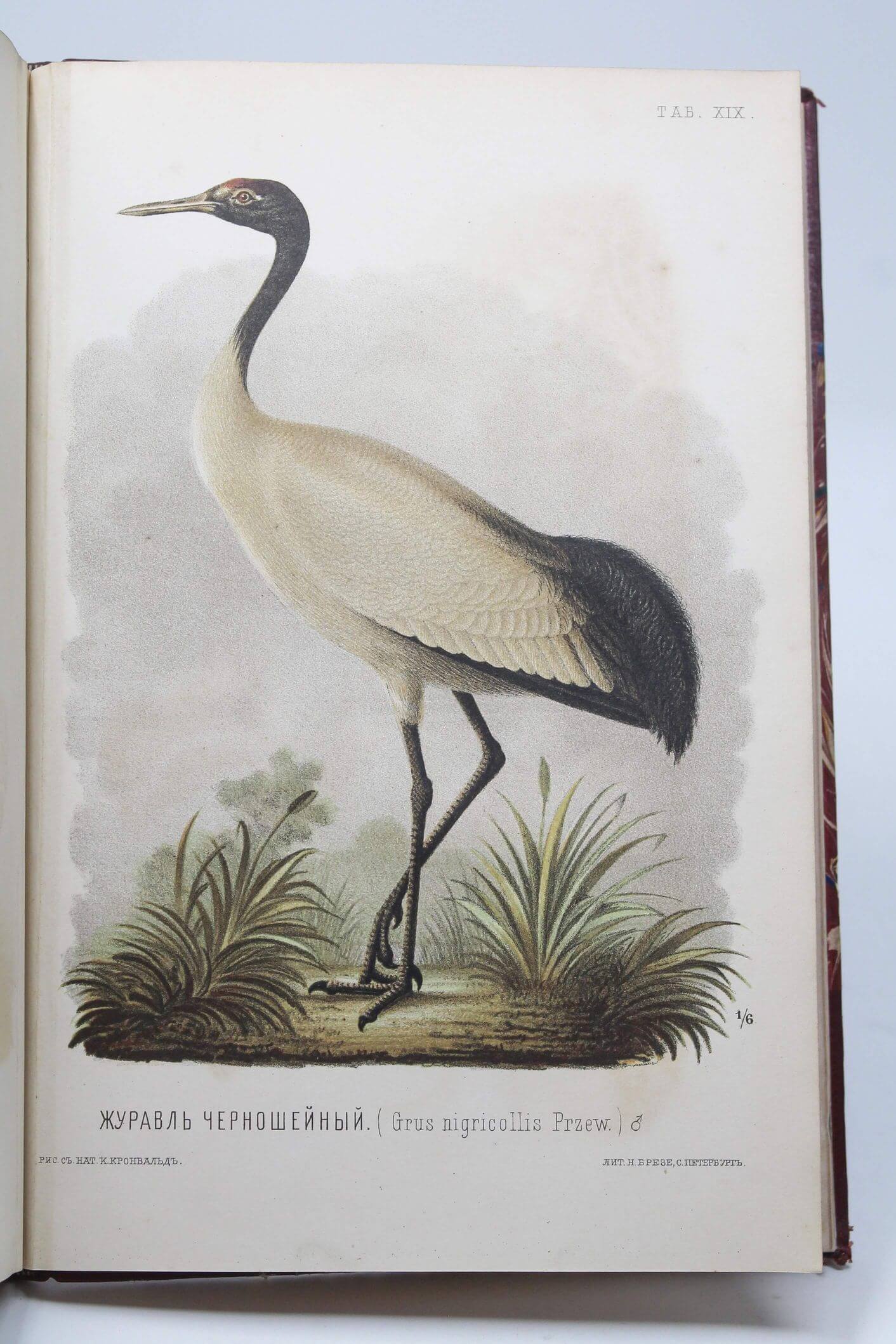
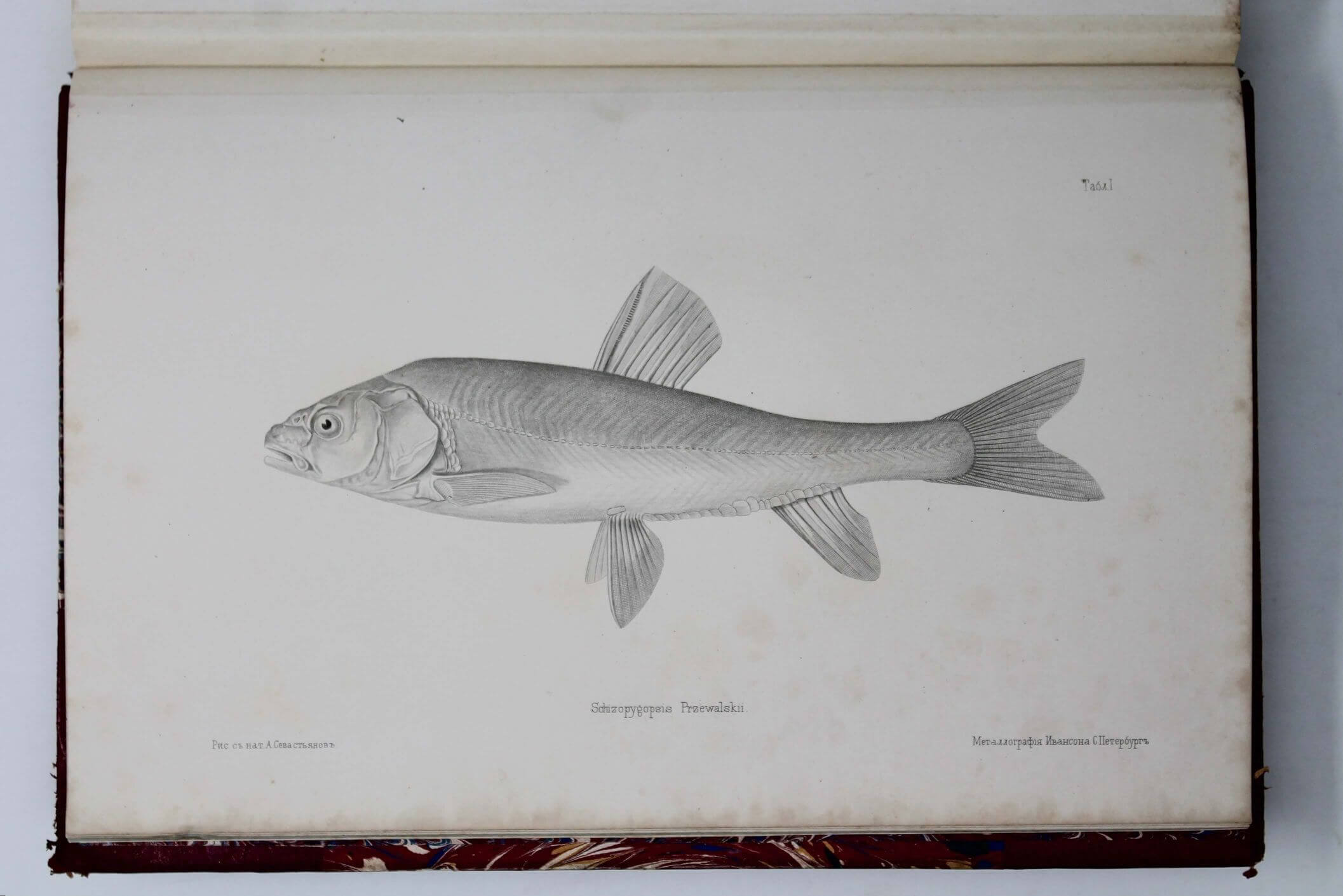
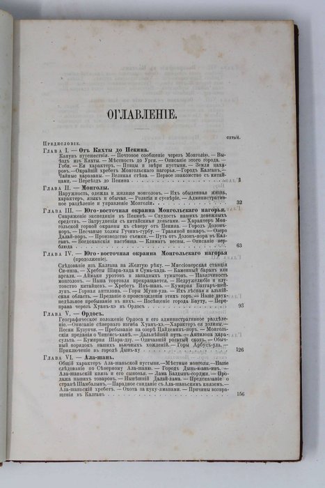
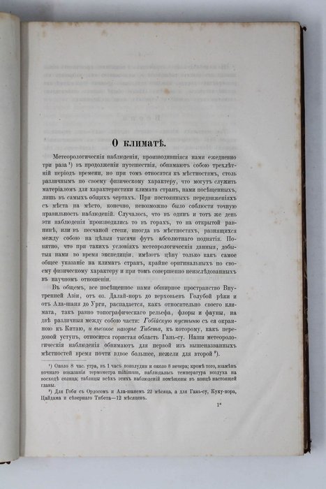
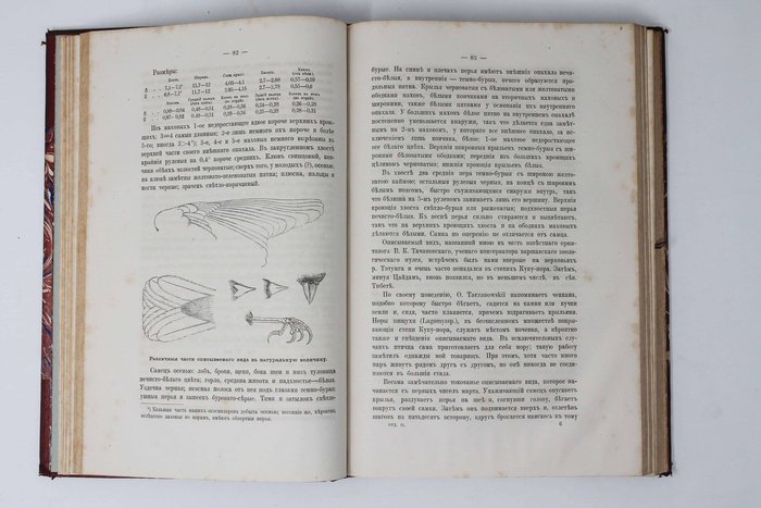
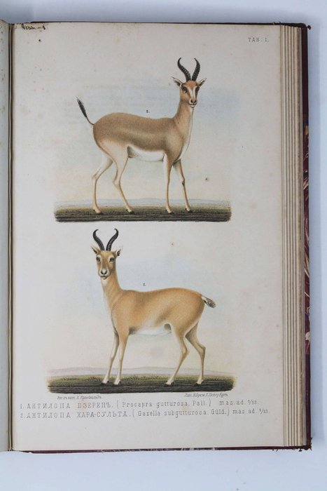
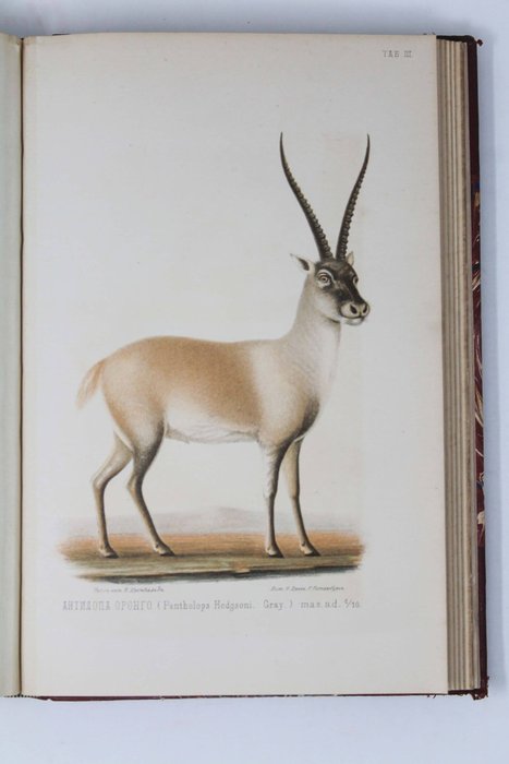
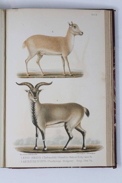
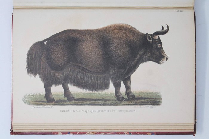
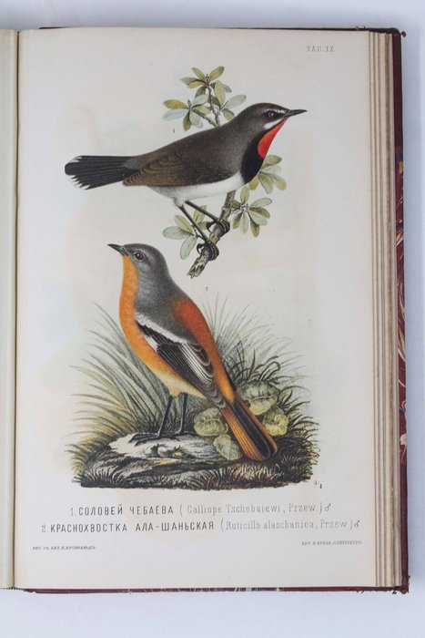
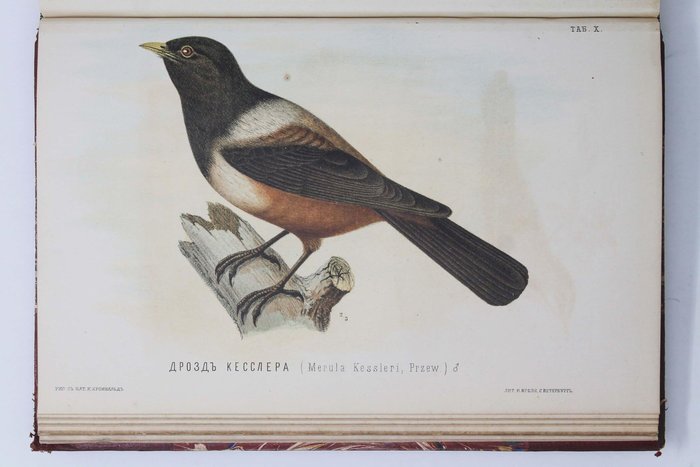
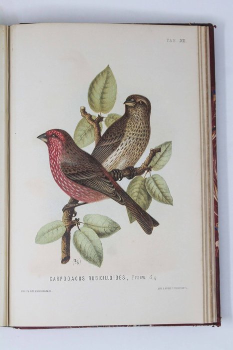
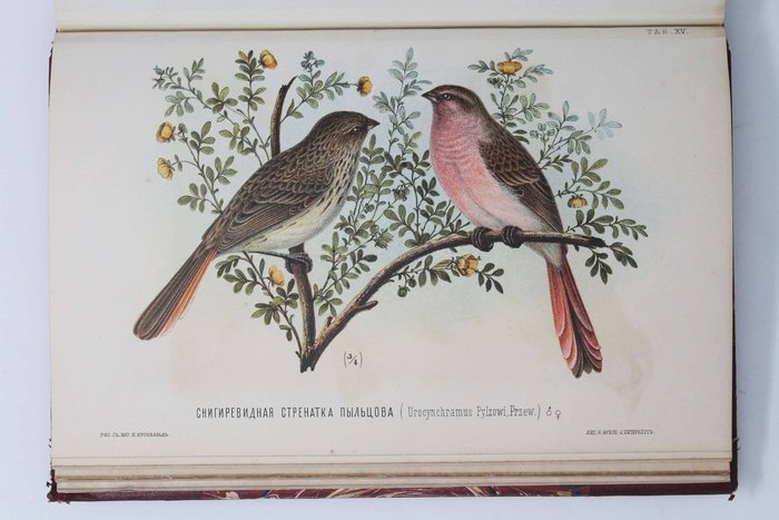
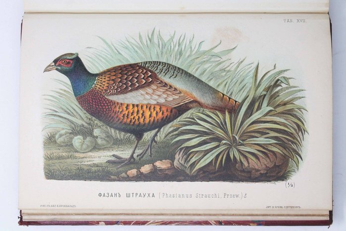
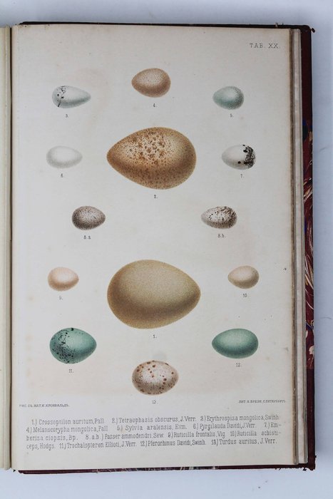
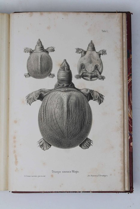
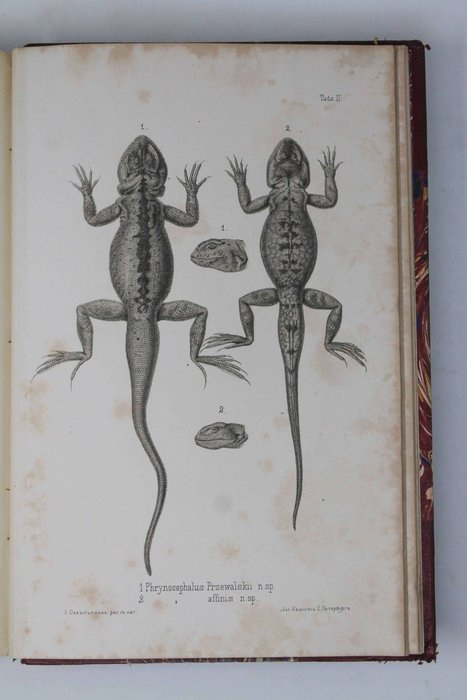
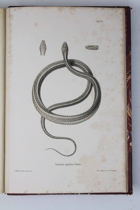
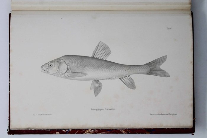
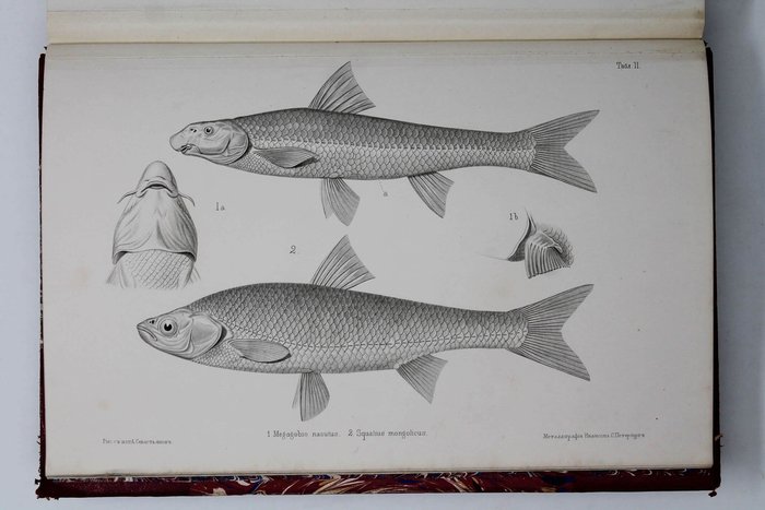
The book consists of two volumes: the expedition account (vol. 1) and results of scientific observations (vol. 2), the latter contains articles about the region’s climate, birds, fish, and reptiles. The description of Mongolian and Tibetan flora which was planned to compile the third volume of the book was instead published as the first part of the series of “Nauchnye Rezultaty puteshestviy N.M. Przhevalskogo v Tsentralnoy Azii…” (“Scientific Results of N.M. Przhevalsky’s travels in Central Asia…” SPb., 1889). Chromolithographed plates depict mammals, birds, fish and reptiles; detailed chromolithographed map published on two large folding sheets represents the “Route survey [executed] during the Travel of Przhevalsky in the Eastern Asian Plateau in 1871, 1872 and 1873.” The book was awarded with the Gold medal of the Russian Geographical Society (1874), a diploma of the International Geographical Congress in Paris (1875), prestigious Founder’s Medal of the Royal Geographical Society (1879), and others; it was quickly translated into major European languages.